

Screen 1 of 4: Map overview
Project template · Civil, Environmental & Interdisciplinary
Flood Risk Mapping
Map flood-prone areas from elevation, drainage and rainfall data.
- Suggested technology
- QGIS, PythonYou can ask for a different stack.
- Difficulty
- Advanced
- Project stage
- Major / Final-Year Project, Research / Industry Project
- Branches
- Civil
- Deliverables
- Analysis files, Results and report
- Suggested package
- Advanced (Custom). You can choose another package when you customize.
- Price
- Quoted after review
Included
- Elevation and rainfall layers
- Flood-prone zone mapping
- Risk map outputs
More in Civil, Environmental & Interdisciplinary
 Construction Cost EstimatorEstimate building costs from quantities and rates, with an itemised breakdown.
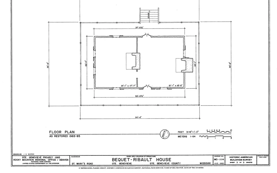 Building Energy AnalysisModel a building's energy use and compare design changes that reduce it.
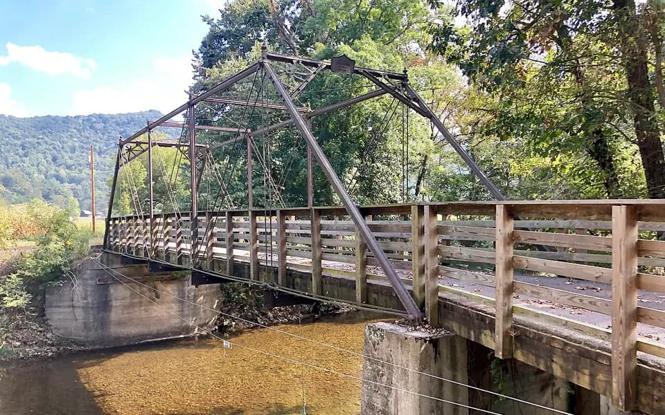 Structural Analysis ModelAnalyse a frame or truss structure under loads and check members against design codes.